Utah recreation access
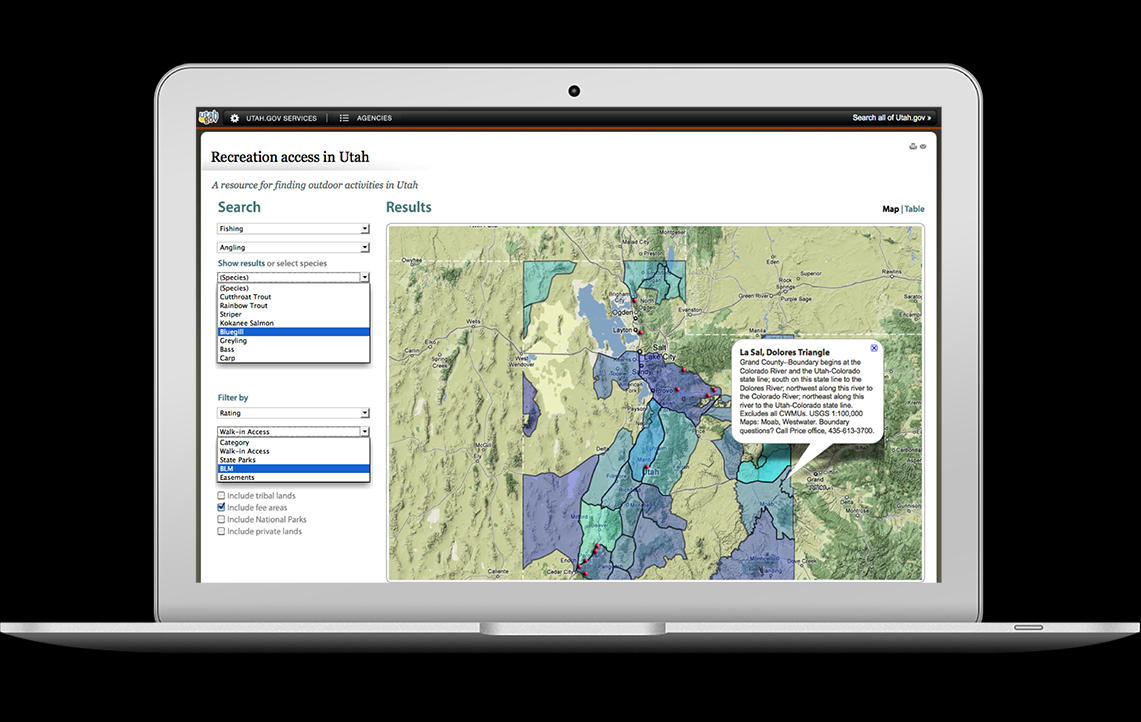
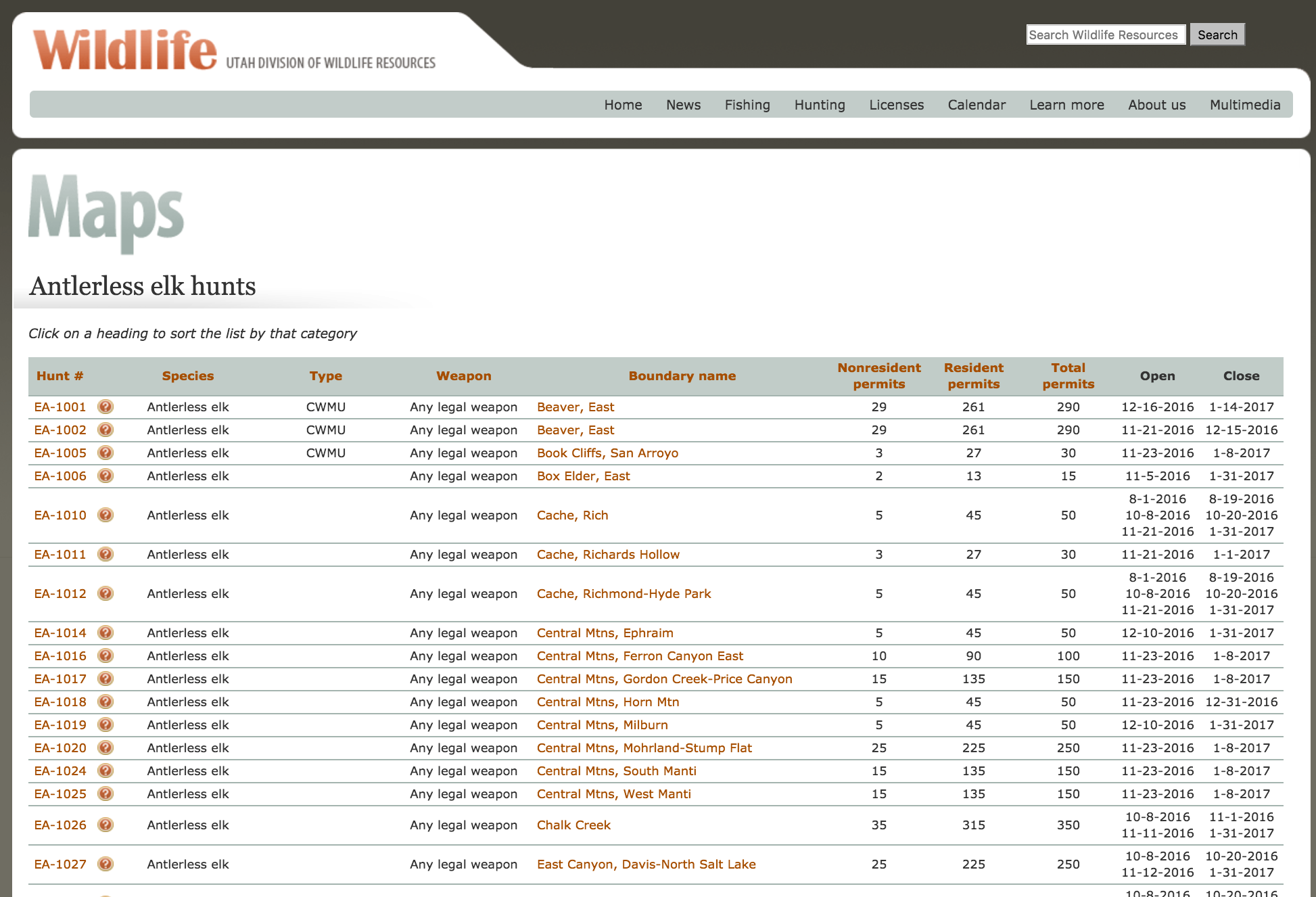
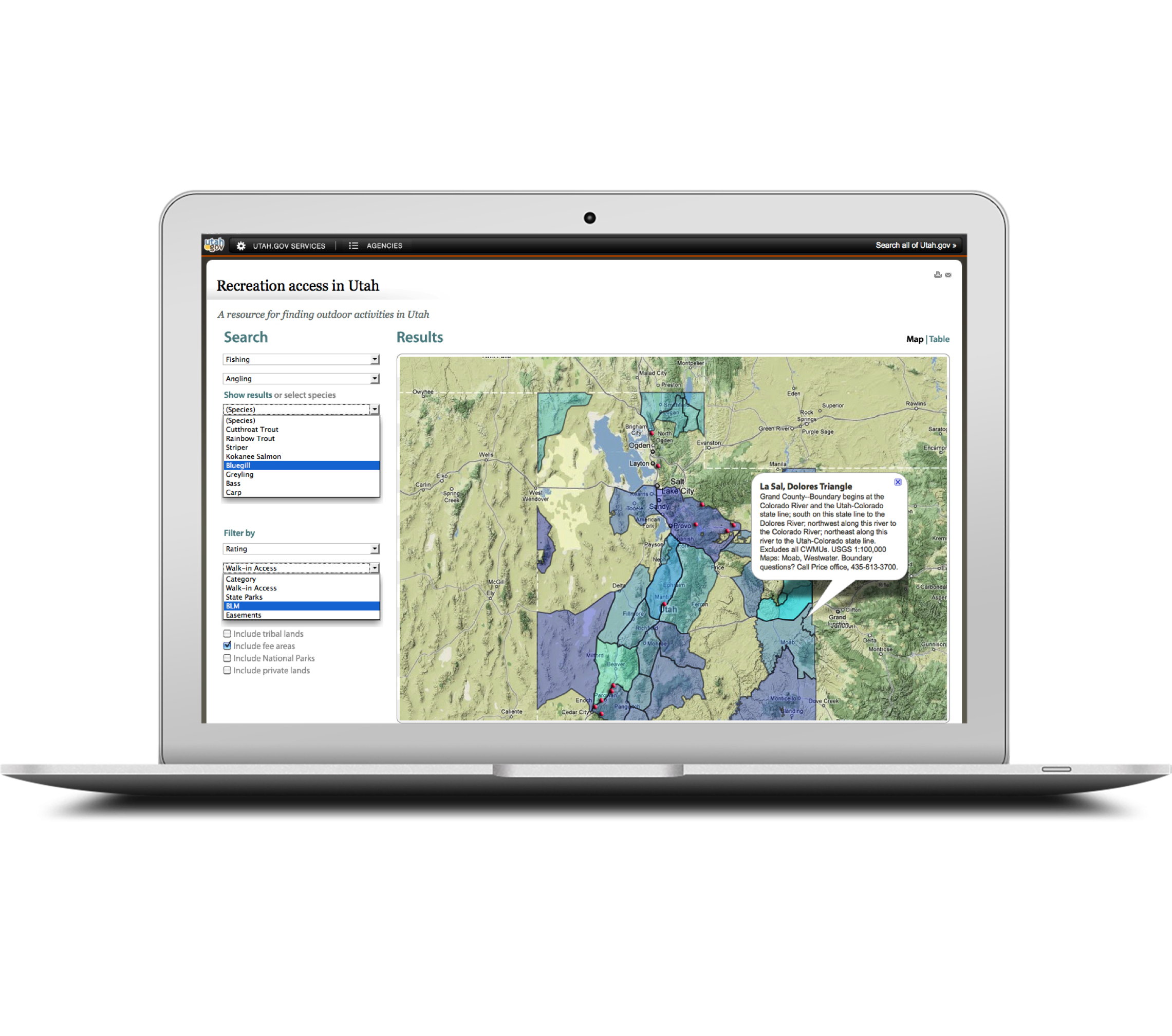
This application serves recreation (e.g. fishing and hunting) boundaries and time tables. You can interact with the boundaries in Google Maps and search for hunts based on location and type of hunt. My role was sole developer and designer. I wrote the application using the Google maps API, Javascript, PHP and Java. It was the first of its kind and replaced an industry practice of physically sending paper maps. I built it in 2009 and the core of the application is still active. The site also won an award in 2010 for best government communication site.
At the Utah Division of Wildlife, I was a new developer and hungry to build something that mattered. While I wasn't out in the field filming mountain lions and bison transplants, I spent my time learning to code. Linux-Apache-MySQL-PHP (LAMP) was popular stack at the time. With these tools, I felt enabled to tackle any problem in the world! I chose to start with hunt boundaries.
We were sitting on a mountain of GIS data (map data). However, only one person had access. This person spent all his time generating maps and dealing with revisions. The public relied on these maps and yet they were limited to physical printouts. I knew we could do better.
I often used the topographical view in Google earth to plan out a trek to film wildlife. Why shouldn't the public be able to do the same thing with these boundary maps? This led me to explore Google maps as a solution. It was technically challenging for many reasons. First, I was ignorant of map projections. Second, the Google maps API was still in its early days and so I had to come up with hacked solutions to allow for asynchronous loading of polygons (so a user could select or hide boundaries seamlessly). I also had to do a lot of processing to convert and compress the GIS data to KML format.